WILCOX STUDIES | BEE-VICTORIA | ZAPATA | WORKFLOW | INFORMATION
South Texas Zapata Phase
Download: Basemap Brochure (PDF ); Sample Well Logs
Key Features:
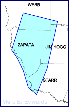
Geographic area covered – most of Zapata County, with parts of adjacent Webb, Starr and Jim Hogg Counties.
Stratigraphic units covered – detailed study of Middle and Upper Wilcox, correlations from Weches down to as deep as Lobo Unconformity. Sample well logsshowing the distribution of correlations, fault cuts and sand and log facies intervals are available for downloading.
Database – 850 wells were interpreted for this study.
Digital data – all tops (>35,000), fault picks (~1,500) and sand counts (~25,000) in digital format keyed to API number.
Digital maps and cross sections – all maps and cross sections included as PLT files for plotting on HP plotters, and PDF’s for convenient screen viewing in Adobe Acrobat version 4.
Cross sections – fifty-five cross sections, including structural, stratigraphic, regional, sub-regional, and local (high-detail).
Maps – Twenty three sand, isopach and log facies maps at a scale of 1″ = 8,000′.
Stratigraphic framework – diagram of all surfaces and units defined, major depositional systems and environments.
Geohistory – stratigraphic and structural evolution shown step-by-step in large-scale diagram.
Text report – description of methodology and study results. It builds upon reference to previous work
Media – The above deliverables are provided on CD. The text report and some maps and cross sections are also provided in large-scale plots.
Download a detailed ZAPATA BASE MAP in PDF format (736 k)
and a PDF Brochure